
Decision-makers are faced with the question which policies may most efficiently and effectively lower greenhouse gas (GHG) and air pollutant emissions. The “China Road Transport Emission Model” (CRTEM) presented in this paper – also known as “HBEFA China” – is a model for bottom-up emissions calculations for road transport that allows estimating the emission impact of different types of policies.
Top-down methods may offer a simple approach to calculate fuel consumption and CO2 emissions for entire countries, but cannot be used for cities, and do not allow distinguishing different emission sources (such as vehicle types or road network links). Bottom-up methods, on the other hand, permit assessments at the desired degree of detail, but require models based on up-to-date measurements and methodology. Furthermore, policy impact assessments may require:
- Fleet turnover modelling in order to assess the impact of policies aimed at promoting restricting certain vehicle types;
- Spatial differentiation in order to assess interventions affecting the spatial flow of traffic, and in order to enable subsequent air quality (immission) modelling;
- Differentiation of traffic situations in order to evaluate impacts of traffic density;
- Output of both GHG and air pollutant emissions, in order to compare impacts in case of conflicting outcomes.
CRTEM/HBEFA China fulfils these requirements, and its input data requirements correspond to data availability in most settings.
The “European” HBEFA is developed by the Environmental Protection Agencies of Germany, Switzerland and Austria, Sweden, Norway and France. The first version dates from 1995. Since then, updates have been published in 2- to 5-year intervals.
The first version of CRTEM/HBEFA China was developed as an adaptation of HBEFA Version 3.2 to Chinese cities in 2012-2014 by the Deutsche Gesellschaft für Internationale Zusammenarbeit (GIZ) GmbH in cooperation with the Shenzhen Urban Transportation Planning Center (SUTPC). The China version includes a new traffic situation scheme tailored to Chinese cities developed based on hundreds of hours of GPS data on driving behaviour collected in Beijing and Shenzhen.
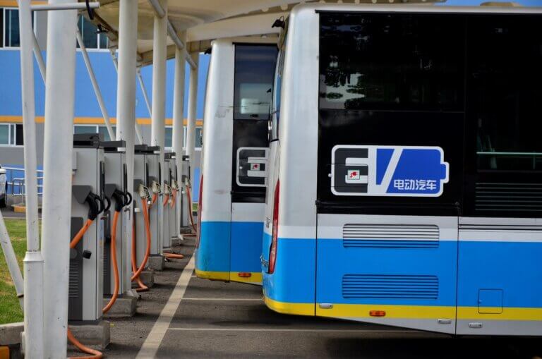
The latest version of CRTEM/HBEFA China corresponds to the European Version 4.1 and includes modern technologies (i.e. battery-electric, plug-in hybrid, fuel-cell, or gas vehicles). The software is implemented in Microsoft (MS) Access and features:
- A database of emission factors covering all currently relevant road vehicle categories, technologies, and emission standards;
- An interface for querying the emission factors at various aggregation levels;
- A module for fleet turnover modelling;
- Utilities to import and process input traffic activity data;
- A module for emission modelling;
- A utility for top-down calculation of CO2 emissions based on fuel sales.
- Utilities for results transfer to GIS software.
- Limitations include the fact that air pollutant emission factors are based on European measurements, with validation in Chinese settings still ongoing, and the fact that for micro-scale emission calculations, detailed vehicle emission models such as PHEM or MOVES are more appropriate.
- CRTEM/HBEFA China has been practically applied in the cities of Shenzhen, Beijing and Harbin so far. This paper presents two application cases in Shenzhen:
- SUTPC evaluated the environmental impact of the parking charge policy, including two scheme plans. It was found that traffic emissions after the implementation of both plans decrease by 21.5% – 22.3%. The evaluation supported the selection of the parking charge policy. With the policy it was possible to improve parking resources and traffic efficiency, and to reduce the traffic emissions of the whole city.
- CRTEM/HBEFA China has been integrated into China’s first sub-district resolution road traffic emission monitoring platform in Longgang International Low Carbon City in the North of Shenzhen. By integrating GPS data with the monitoring data from smart lamp posts and electromagnetic ground detectors, the platform obtains real-time traffic data and uses CRTEM/HBEFA China to calculate high-resolution emission outputs.
Activity data for further cities can be included in CRTEM/HBEFA China. This will enable these cities to carry out future scenario analyses and impact assessments of policies such as those described in this report, and make road transport emission-related interventions more targeted and effective.
To learn more about the HBEFA model, please download the “CRTEM / HBEFA China Road Transport Emission Model” report.